
Western Victoria is the home of Landcare. Our area has seen 30+ years of habitat protection, creation and sustainable farming thanks to hundreds of passionate local volunteers. In that time, the focus of Landcare has shifted, from urgent repair of land through erosion, water quality, and reforestation projects, to sustainable farming, wildlife conservation, and the creation of landscape wide habitat corridors. Where is Landcare in the Upper Wimmera going next?
This project lays groundwork for the next phase of Landcare by evaluating where we stand now through citizen science surveys, and building a shared Biolink Project plan across our groups to move forward.
Get involved


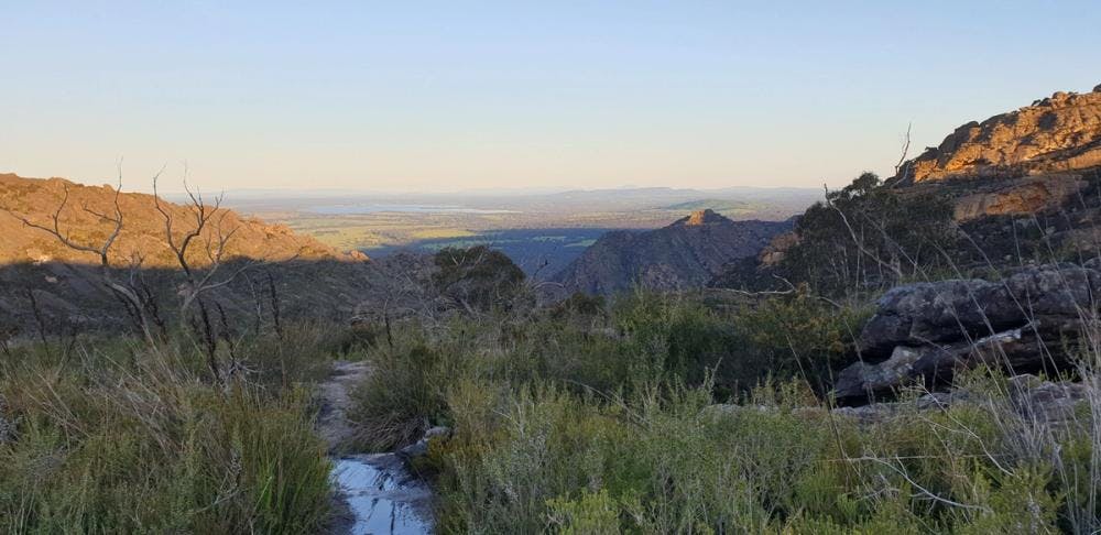
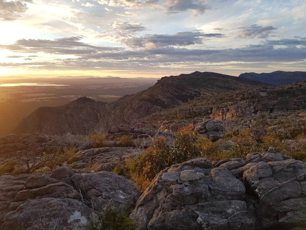
The site
Our local landcare groups want to bring more ecological strategy into their revegetation projects. There's no denying the positive impact on the environment all their revegetation has done over the last 30 years. But now our groups want to know what measurable ecological impact that revegetation has had, and where can they plan their next projects to maximize that impact. To achieve that goal, they have come together to launch a 'Biolink Project'.
What is a 'Biolink'?
A "biolink project" (sometimes also called a "habitat corridor" or "ecological corridor") is a conservation initiative focused on connecting fragmented natural habitats. Due to human activities like urban development, agriculture, and infrastructure, natural landscapes often become broken up into isolated patches of bushland, forests, or wetlands. This fragmentation makes it difficult and dangerous for wildlife to move between areas to find food, water, mates, or new territories. It can lead to isolated populations, reduced genetic diversity, and increased vulnerability to threats like disease or predators. Biolink projects aim to counteract this by creating or restoring strips of native vegetation (corridors) that link these isolated habitat patches. These corridors can be continuous or "stepping stones" of smaller patches that allow animals to safely travel across developed or cleared landscapes.
What are we are doing
We are working towards a landscape-wide Biolink Program through the following focus areas:
Biolinks Team
The Biolinks team is made up of representative of over 10 landcare groups and 3 catchment regions. We meet for quarterly workshops that help our team of Landcares build coordinated and ecologically grounded habitat connecting project with monitorable achievements.
So far these workshops have facilitated: the development of a shared values statement and a list of priority activities; a starting library of standardized project modules to streamline future habitat connectivity work; a protocol and user-friendly app tool for shared mapping and data collection across the groups; and a 'Biolink map' where project and habitat data from all groups can be analysed together for landscape wide impact. The Biolinks Team has also become a vehicle for Landcare groups to trial new technologies that might improve their ability to create and protect habitat. This foundational work has been met with positive feedback, fostering a greater sense of collaboration and shared purpose among participating Landcare groups.
Next for Biolinks Team is to launch our first season of coordinated biodiversity monitoring, to help us identify key indicator species that will help us pick the highest priority habitat corridors to build.
Biodiversity monitoring
We want to identify the most ecologically valuable places to build biolink corridors. To do that we need to know where our vulnerable native species are living!
We want to focus in particular on 'indicator species', which are species that tend to be found only in areas that can support many other native species. So for example, a stumpy tail lizard or a magpie (which are very good at living on farms without much native habitat left) is not a great indicator species. However, a sugar glider (which is only found in areas with enough old hollow bearing trees) is a better indicator. A 2013 Bioinks Alliance study identified good indicator species for our area, including small woodland birds (like mistletoe birds) and nocturnal gliders.
If we collect records of our chosen indicator species in a consistent manner across our landscape, we can compare the 'biodiversity value' of one site to another. This lets us rank the value of different habitat islands, and focus our revegetation efforts on the corridors between them.
Citizen science training
Training on the use of citizen science tools and protocols has been shared with key Landcare members via the Biolinks team, and coming up next we will be running several training sessions open to the public to build a 'citizen scientist' team across the Upper Wimmera. This will include how to use free identification and reporting resources such as iNaturalist, as well as newly available AI-powered cameras and audio monitors to involve the community in tracking indicator species including gliders and woodland birds. These digital tools enable anyone to participate, regardless of expertise!
Cutting edge AI technology
To consistently compare biodiversity across our landscape, the Biolinks team is trialing high-tech solutions to monitor indicator species like gliders and small woodland birds.
For example, while expert birdwatchers provide excellent data, their time is limited. We're now deploying Birdweather Pucs, small digital devices that use AI to continuously identify bird songs in the field. Although the AI may make more errors than human experts, our humans can review the data. These devices offer a significant advantage: they can collect data tirelessly, extending our monitoring capabilities. Similarly, we are trialing programs that apply AI techbniology to sorting camera trap photos, saving time in sorting thousands of empty photos.
A key benefit of these new technologies is that they allow anyone to participate in biodiversity data collection; no prior bird expertise is required. This demonstrates technology's power in conservation – not replacing human effort, but enabling broader community participation than ever before.
Related posts


Project partners


